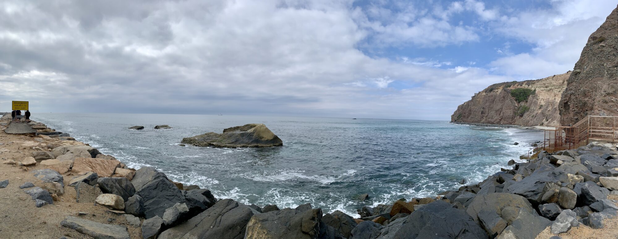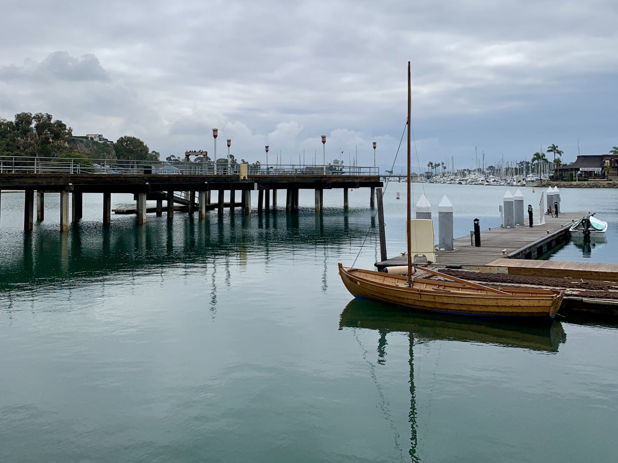
Today we decided to head down to our wonderful Dana Point Harbor to see how our beautiful coast is holding up since the Huntington Beach Oil Spill 5 days ago. As of yesterday, the beaches and harbor were closed to swimming and boats. Given that no boats can enter (or leave) it was very serene, beautiful but actually quite weird not seeing or hearing boats coming and going! We wanted to find out…is Dana Point Affected by the Huntington Beach Oil Spill?
Where is the Oil Spill in California Coming From?
The recent Southern California oil spill actually began off the coast of Huntington Beach when a decades-old pipeline that connects three platforms to a pumping station in Long Beach began leaking at approximately 7pm on Friday, October 1, 2021. The leak was not detected or reported until Saturday morning at 8am.
The 12 hour, unreported leak has raised significant unanswered questions… Why weren’t alarms triggered immediately? How did an estimated 125,000+ gallons of crude oil escaped into the Pacific Ocean without detection?
Unfortunately, during this 12 hour span oil began washing onto beaches and wetlands endangering and killing wildlife. On October 4 Governor Gavin Newsom declared a state of emergency with criminal, civil investigations pending.
Who is Responsible for the Huntington Beach Oil Spill?
USA Today reports that “the Beta Offshore, a California subsidiary of Houston-based Amplify Energy, was responsible for the spill. Beta Offshore states on its website that it is one of the largest oil producers in Southern California, operating three offshore platforms 12 miles south of Long Beach”. According to the NY Times, “some of the oldest platforms still in place were installed in the late 1960s”.
How Far South is the Oil Spill?

Rescue teams are on land, sea and in air trying to prevent the over 30 mile coastline slick from reaching more beaches. Currently, the oil spill spans from Huntington Beach to Dana Point, CA by coastline. It spans as far south as San Onofre, CA near Camp Pendleton by ocean.
On Saturday, October 2nd, NOAA took satellite images of what appears to show oil patches over 30 coastline miles South of Huntington Beach. The US Coast Guard further observed black oil roughly 3.25 nautical miles offshore. (Updated information is posted at USCG News).
On Tuesday, October 5, authorities issued the closure of Newport, Laguna and Dana Point Beaches and Dana Point Harbor in effort to contain and protect the sensitive wildlife marine areas and preserves. Booms have been put into place to try to contain and restrict oil flow. Environmental organizations are quickly working to remove the thick globs of oil and tar.
How Long Is Dana Point Harbor Closed?

OCGov.com issued a press release on October 5 that Dana Point Harbor was closed effective at 9pm on October 4 until further notice. As of Wednesday afternoon, October 6, boats are still not allowed to enter (or leave) Dana Point Harbor.
How to Help Wildlife from the Huntington Beach Oil Spill
Beach cities on the Orange County Coast have many wildlife sanctuaries, preserves and sensitive coastlines which support local and migrating birds and mammals year round. Trained environmental specialists and volunteers are working around the clock to remove oil and tar to protect wildlife.
Mammals and birds have been found and are being transferred for care but If you find any injured birds or mammals from the Huntington Beach Oil Spill, please keep your distance to prevent further injury and contact:
Oiled Wildlife Network 877-823-6926
Pacific Marine Mammal Center is also on backup (949) 494-3050

